
Our Work
Maps, drones, satellites and data platforms that help governments, conservancies, NGOs and communities across Kenya, Uganda and Somalia make better decisions.
Talk to Us
13 projects across 5 themes
Jump to a theme:
Environment & Climate
Satellites, drones and AI that watch ecosystems and measure carbon.
Satellite Alerts for Uganda: A Live Ecosystem Monitoring System for NEMA
We built the engine behind a proof-of-concept system that lets Uganda's National Environment Management Authority spot forest loss, burning and wetland damage from space.
Measuring a Forest's Carbon: Drone LiDAR and Tree Inventory for an Indigenous Forest in Butula
A drone LiDAR survey combined with a field tree inventory to measure how much carbon an indigenous forest holds now and could hold in future, as the baseline for a forest carbon project.
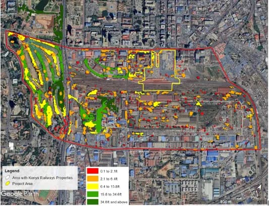
Greening the Rails: A Holistic Carbon Assessment for Kenya Railways Emissions and Sinks
Assessing Greenhouse Gas Emissions and Evaluating their Significance within the proposed Kenya Railways City project area.
Conservation & Land Use
Data hubs and land use plans for conservancies and communities.
One Home for Conservation Data: The Laikipia Conservancies Data Hub
A central data hub and set of dashboards that help Laikipia Conservancies Association and its members track results, report to donors and compare impact.
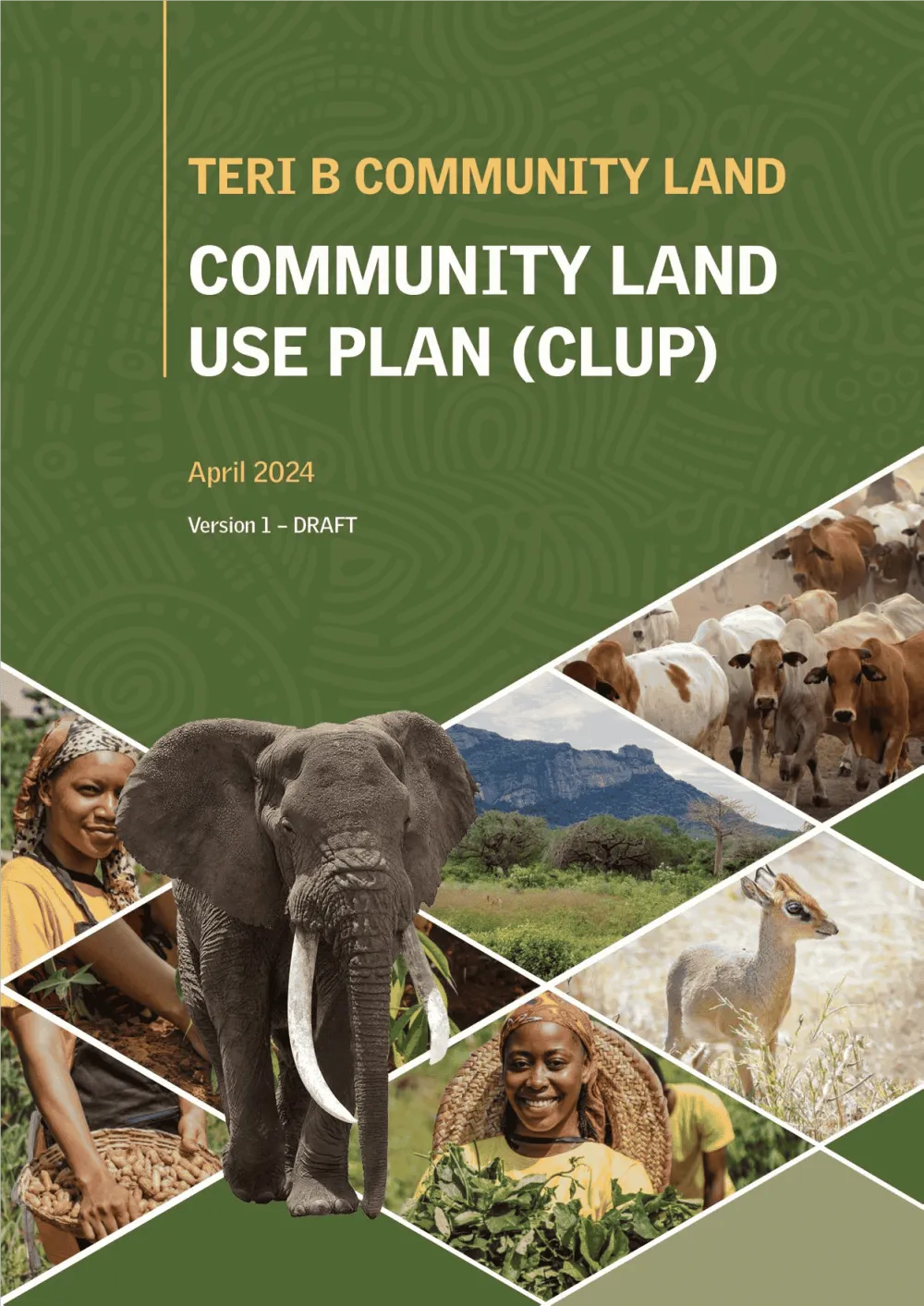
Empowering Communities: Participatory Community Land Use Planning in Taita Taveta with KWCA & TTWCA
Flagship GIS based community land use spatial plan prepared through participatory mapping to provide a clear strategic direction for the utilization of the community land in an efficient,…
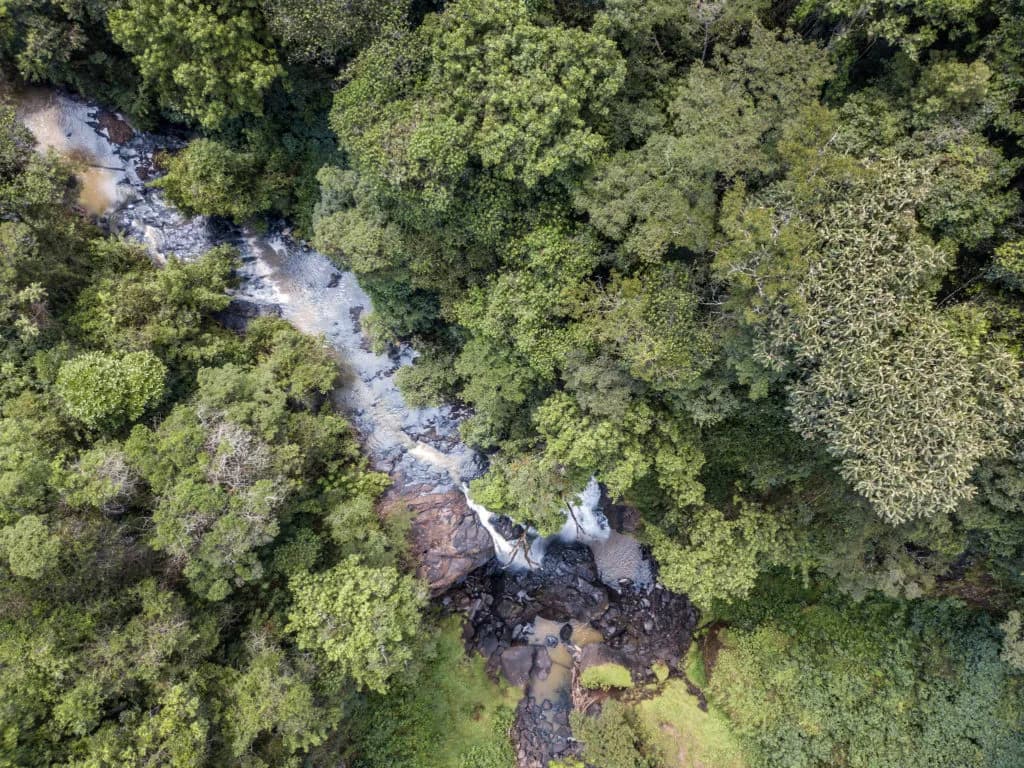
Protecting Kenya's Water Towers through strategic restoration of vital water catchment ecosystems.
We provided technical assistance to the Kenya Forest Research Institution, using AI, Machine Learning, and GIS to enhance climate resilience and sustainable management of vital ecosystems…
Agriculture & Food Security
Farmer registries and farm records for irrigation schemes and counties.
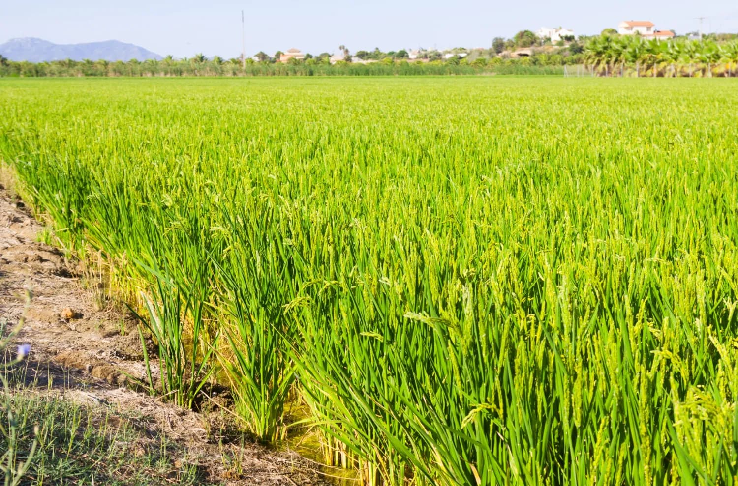
Mapping the Future of Food: Mwea Irrigation Scheme's Digital Farmer and Farms Registry
In collaboration with the National Irrigation Authority, we have revolutionized the process of mapping farms and farmer registration to determine the accurate and current acreage under ir…
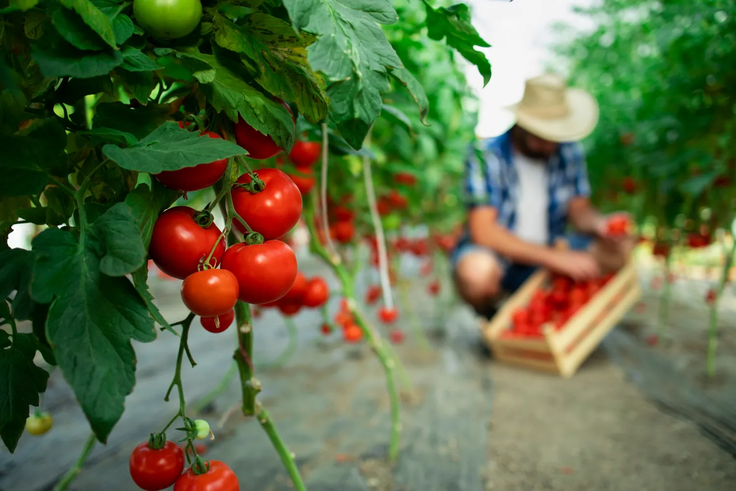
Data-Driven Farming for Kitui Sorghum Farmers
We empowered the Kitui County government to improve agricultural productivity by using Geo-Information, AI, and Machine Learning to create a smart farm business planning and record-keepin…
Data Platforms & Software
Geoportals, databases and custom systems for institutions.
Modernising National Data: A Geoportal and Field Tools for DRSRS
We are helping Kenya's Directorate of Resource Surveys and Remote Sensing replace scattered files with a modern geoportal, a standard spatial database and mobile data collection.
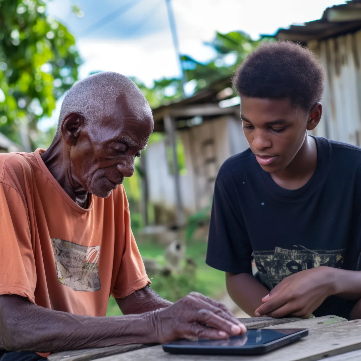
Vector Watch: Smarter Surveillance for a Healthier Africa
We partnered with the International Centre of Insect Physiology and Ecology (ICIPE) to create a generic geospatial data platform that provides a dynamic, data-driven view of vector-borne…
Community Resilience & NGOs
Impact maps, early warning and resource mapping with communities.
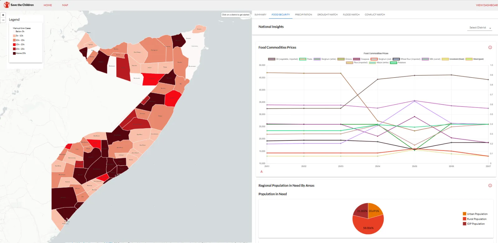
Amilen & Zetabyte support SCI-Somalia to deploy Anticipatory Action Forecasting System for resilient Somalia.
Empowering Somalia to combat climate change, the Anticipatory Action Forecasting System (AAFS) leverages cutting-edge AI and satellite data to predict floods and droughts. By strengthenin…
Mapping Water, Grazing and Risk Together: Drone Surveys and Maps in Laikipia North
Drone surveys, community mapping and a simple online dashboard to help communities in Mukogodo East and West plan for drought and floods.
Showing Impact on a Map: An Interactive Project Dashboard for IMPACT Kenya
An interactive online map that shows where an indigenous-led organisation works and the stories behind the numbers.

Ready to Transform Your Business?
Partner with us for expert guidance and strategies that drive growth and success.
Contact UsGet Your Free Consultation