
Agriculture and Irrigation Services
Agriculture and Irrigation Services
Farmer Registries & Farm Records
We map each farm with GPS, link it to the farmer, and keep records for crops, yields and inputs in one database.
Discover More: Farmer Registries & Farm RecordsPrecision Farming
Satellite images show which parts of a field are healthy and which are struggling, so fertiliser and pesticide go only where needed.
Discover More: Precision FarmingYield Monitoring
Maps and forecasts of how much each field is likely to produce, to help plan harvest, storage and sales.
Discover More: Yield MonitoringIrrigation Management
We combine land, crop and weather data to build simple irrigation schedules and track how water is shared across a scheme.
Discover More: Irrigation ManagementAgriculture and Irrigation Services: our recent projects
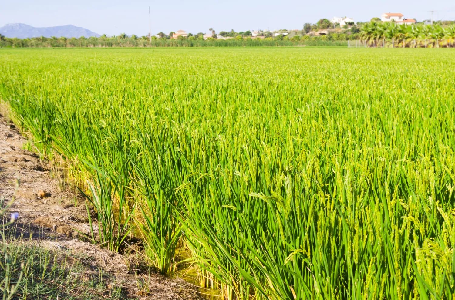
Mapping the Future of Food: Mwea Irrigation Scheme's Digital Farmer and Farms Registry
In collaboration with the National Irrigation Authority, we have revolutionized the process of mapping farms and farmer registration to determine the accurate and current acreage under ir…
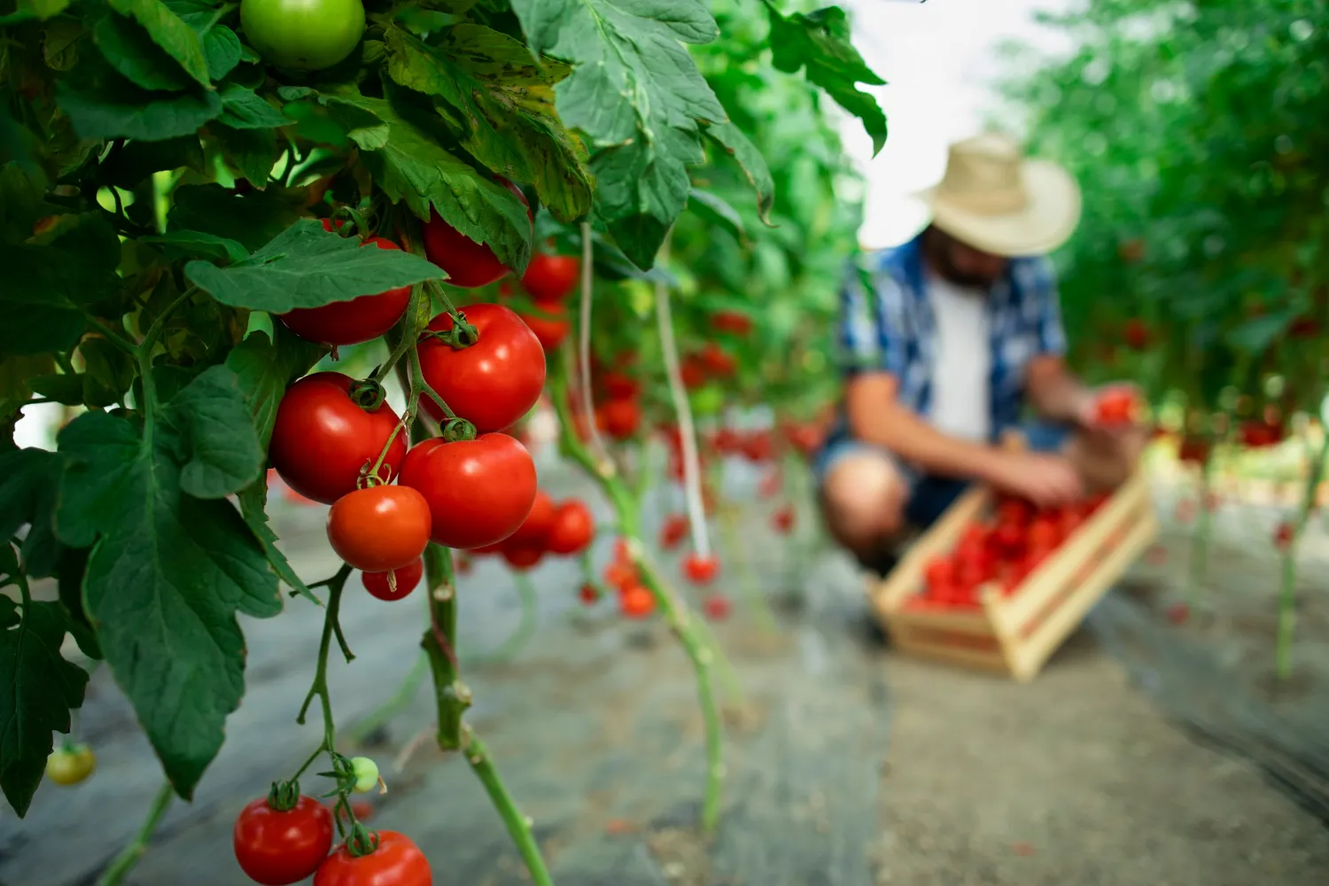
Data-Driven Farming for Kitui Sorghum Farmers
We empowered the Kitui County government to improve agricultural productivity by using Geo-Information, AI, and Machine Learning to create a smart farm business planning and record-keepin…
Services we use here: Field Data Collection & Surveys, Satellite Monitoring & AI, Web Maps & Dashboards.
Explore other sectors we serve: Government & Public Sector, NGOs, Donors & Community Development, Utilities, Environmental Monitoring, Natural Resources, Conservation, Climate Change Science and Adaptation, IT and Software Engineering, Infrastructure and Transportation.

Ready to Transform Your Business?
Partner with us for expert guidance and strategies that drive growth and success.
Contact UsGet Your Free Consultation