
Field Data Collection & Surveys
Collect trustworthy data on a phone, even without internet. We design mobile forms and run field surveys, then clean and check the data so it is ready to use. This works well for farmer registers, baseline studies and community surveys.
What you get
- Mobile data-collection apps and forms tailored to your questions
- Trained field teams and supervised surveys
- GPS boundaries for farms, plots and community land
- Data cleaning, duplicate removal and field verification
- Registers, maps and reports built straight from the data
Tools and standards
ODK
ArcGIS Survey123
Mobile GIS
GPS
Used in these industries
Field Data Collection & Surveys: our recent projects
Conservation & Land Use · Kenya
One Home for Conservation Data: The Laikipia Conservancies Data Hub
A central data hub and set of dashboards that help Laikipia Conservancies Association and its members track results, report to donors and compare impact.
Data Platforms & Software · Kenya
Modernising National Data: A Geoportal and Field Tools for DRSRS
We are helping Kenya's Directorate of Resource Surveys and Remote Sensing replace scattered files with a modern geoportal, a standard spatial database and mobile data collection.
Agriculture & Food Security · Kenya
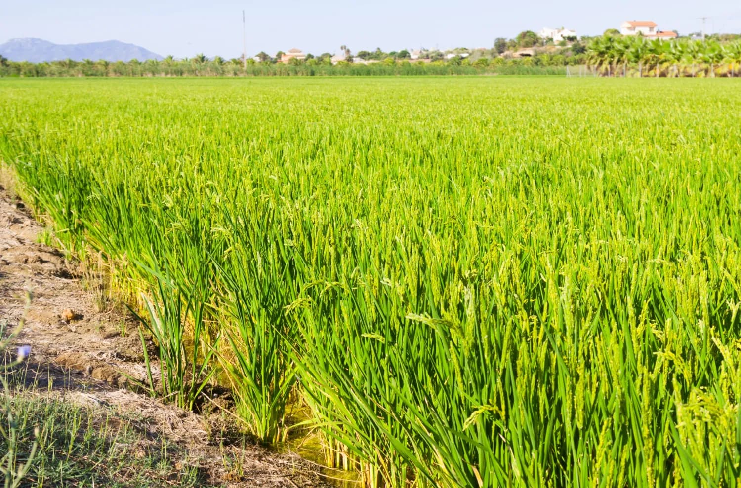
Mapping the Future of Food: Mwea Irrigation Scheme's Digital Farmer and Farms Registry
In collaboration with the National Irrigation Authority, we have revolutionized the process of mapping farms and farmer registration to determine the accurate and current acreage under ir…

Ready to Transform Your Business?
Partner with us for expert guidance and strategies that drive growth and success.
Contact UsGet Your Free Consultation