
Community Mapping & Land Use Planning
Plans that communities help draw and agree on. We sit with communities, draw their knowledge onto maps and turn it into land use plans and risk maps everyone understands. Local people stay in charge of the process.
What you get
- Participatory mapping sessions and community consent (FPIC) support
- Maps of grazing areas, water, migration routes and flood-risk zones
- Land use plans prepared for approval by the community
- Large printed maps for use and annotation in the field
- Guidance on balancing livelihoods, conservation and heritage
Tools and standards
Participatory GIS
Community Land Act 2016 process
Large-format maps
Used in these industries
Community Mapping & Land Use Planning: our recent projects
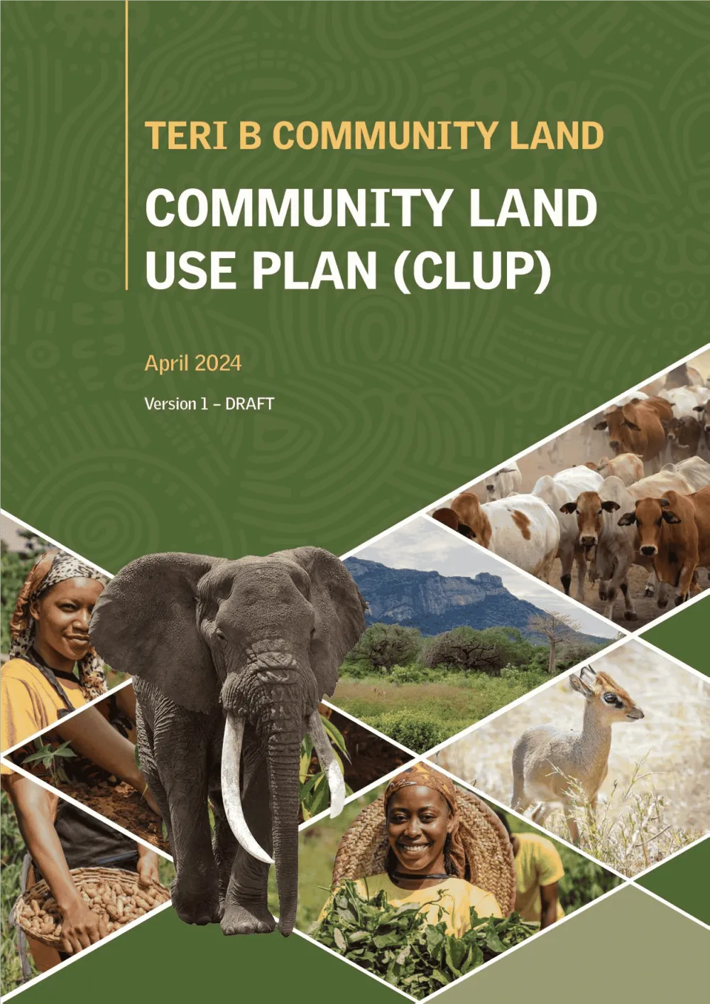
Conservation & Land Use · Kenya
Empowering Communities: Participatory Community Land Use Planning in Taita Taveta with KWCA & TTWCA
Flagship GIS based community land use spatial plan prepared through participatory mapping to provide a clear strategic direction for the utilization of the community land in an efficient,…
Community Resilience & NGOs · Kenya
Mapping Water, Grazing and Risk Together: Drone Surveys and Maps in Laikipia North
Drone surveys, community mapping and a simple online dashboard to help communities in Mukogodo East and West plan for drought and floods.

Ready to Transform Your Business?
Partner with us for expert guidance and strategies that drive growth and success.
Contact UsGet Your Free Consultation