
Maps, Reports & Training
Clear maps and reports, and the skills to keep going. Good data is only useful when people understand it. We design printed and digital maps, simple guides and run hands-on training so your team can use geospatial tools with confidence.
What you get
- Professionally designed maps, factsheets and booklets
- Risk-reduction and planning visuals for communities and leaders
- Hands-on training for staff, partners and local teams
- User guides and handbooks
- Workshops to review results with stakeholders
Tools and standards
Cartographic design
Training workshops
Handbooks
Used in these industries
Maps, Reports & Training: our recent projects
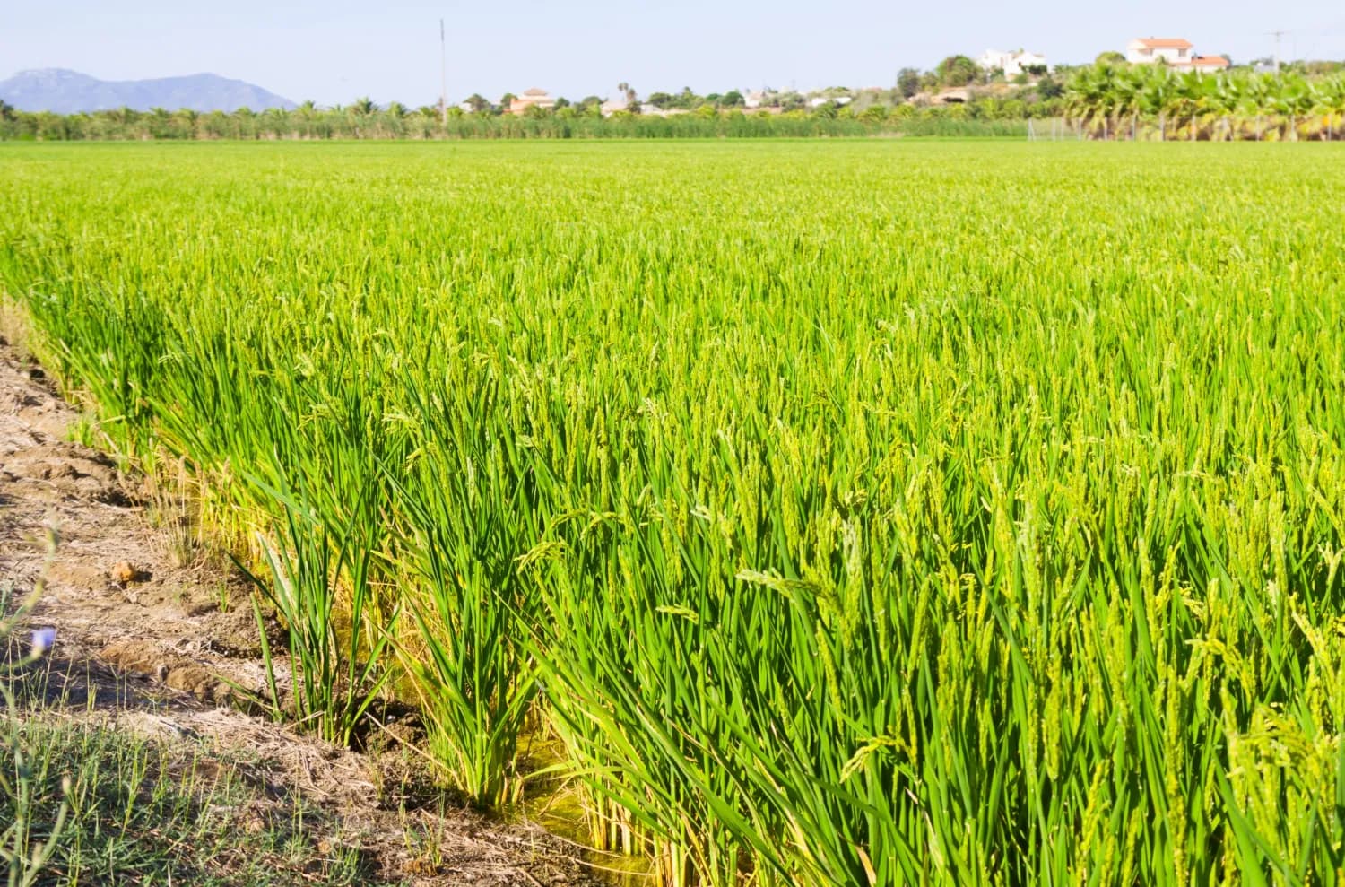
Agriculture & Food Security · Kenya
Mapping the Future of Food: Mwea Irrigation Scheme's Digital Farmer and Farms Registry
In collaboration with the National Irrigation Authority, we have revolutionized the process of mapping farms and farmer registration to determine the accurate and current acreage under ir…
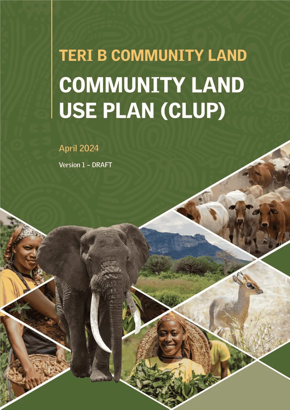
Conservation & Land Use · Kenya
Empowering Communities: Participatory Community Land Use Planning in Taita Taveta with KWCA & TTWCA
Flagship GIS based community land use spatial plan prepared through participatory mapping to provide a clear strategic direction for the utilization of the community land in an efficient,…
Community Resilience & NGOs · Kenya
Mapping Water, Grazing and Risk Together: Drone Surveys and Maps in Laikipia North
Drone surveys, community mapping and a simple online dashboard to help communities in Mukogodo East and West plan for drought and floods.

Ready to Transform Your Business?
Partner with us for expert guidance and strategies that drive growth and success.
Contact UsGet Your Free Consultation