
Overview
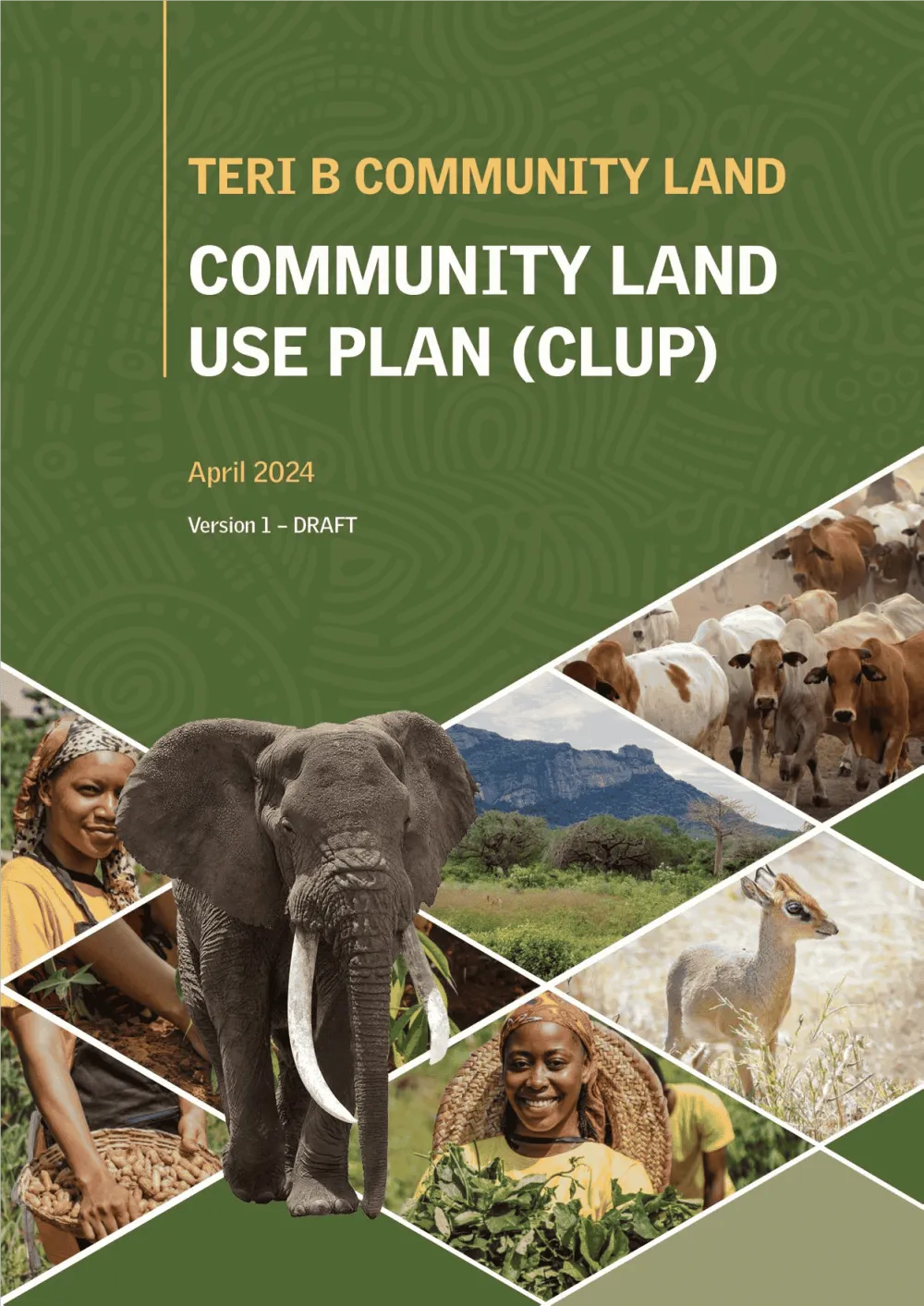
This consultancy aimed to support Teri B Community of Sagalla in Taita Taveta County, registered under the Community Land Act
2016 in developing a comprehensive, data-driven land use plan enhanced by AI and ML technologies through a participatory mapping approach.
The process included a pre-planning phase involving geospatial AI for feasibility studies and AI-powered tools for community engagement through Free, Prior and Informed Consent (FPIC). During plan development, AI-assisted data mining and remote sensing were used to gather baseline data, identify patterns and risks, and apply predictive modeling to guide land use decisions. The plan incorporated ML-based decision-support models for zoning and culminate in an interactive, transparent approval process using AI-enabled visualization tools to support informed community consensus.
What we did
- Feasibility study to define the planning area
- Free, Prior and Informed Consent process with the community land committee
- Land use plan covering resources, infrastructure, tenure and community goals
- Plan prepared for approval by the community under the Community Land Act, 2016