
Natural Resources
Natural Resources
Resource Exploration
We combine geology, terrain and satellite data to point to promising areas, so exploration money is spent where it counts.
Discover More: Resource ExplorationLand Management
We map land use, ownership and boundaries, and help communities and counties prepare land use plans.
Discover More: Land ManagementHydrological Modeling
We study how water moves across the land, to plan dams, catchments and flood protection.
Discover More: Hydrological ModelingNatural Resources: our recent projects
Modernising National Data: A Geoportal and Field Tools for DRSRS
We are helping Kenya's Directorate of Resource Surveys and Remote Sensing replace scattered files with a modern geoportal, a standard spatial database and mobile data collection.
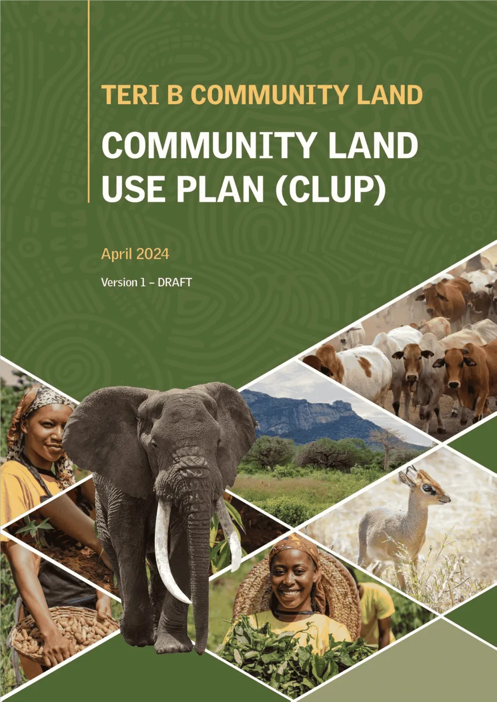
Empowering Communities: Participatory Community Land Use Planning in Taita Taveta with KWCA & TTWCA
Flagship GIS based community land use spatial plan prepared through participatory mapping to provide a clear strategic direction for the utilization of the community land in an efficient,…
Measuring a Forest's Carbon: Drone LiDAR and Tree Inventory for an Indigenous Forest in Butula
A drone LiDAR survey combined with a field tree inventory to measure how much carbon an indigenous forest holds now and could hold in future, as the baseline for a forest carbon project.
Services we use here: Community Mapping & Land Use Planning, Satellite Monitoring & AI, Drone, LiDAR & Survey Mapping.
Explore other sectors we serve: Government & Public Sector, NGOs, Donors & Community Development, Utilities, Agriculture and Irrigation Services, Environmental Monitoring, Conservation, Climate Change Science and Adaptation, IT and Software Engineering, Infrastructure and Transportation.

Ready to Transform Your Business?
Partner with us for expert guidance and strategies that drive growth and success.
Contact UsGet Your Free Consultation