
Precision Farming
Satellite images show which parts of a field are healthy and which are struggling, so fertiliser and pesticide go only where needed.
What this means for you
- Higher yields
- Lower input costs
- Less waste and pollution
Part of our Agriculture and Irrigation Services offering.
Related solutions: Farmer Registries & Farm Records, Yield Monitoring, Irrigation Management.
See it in action
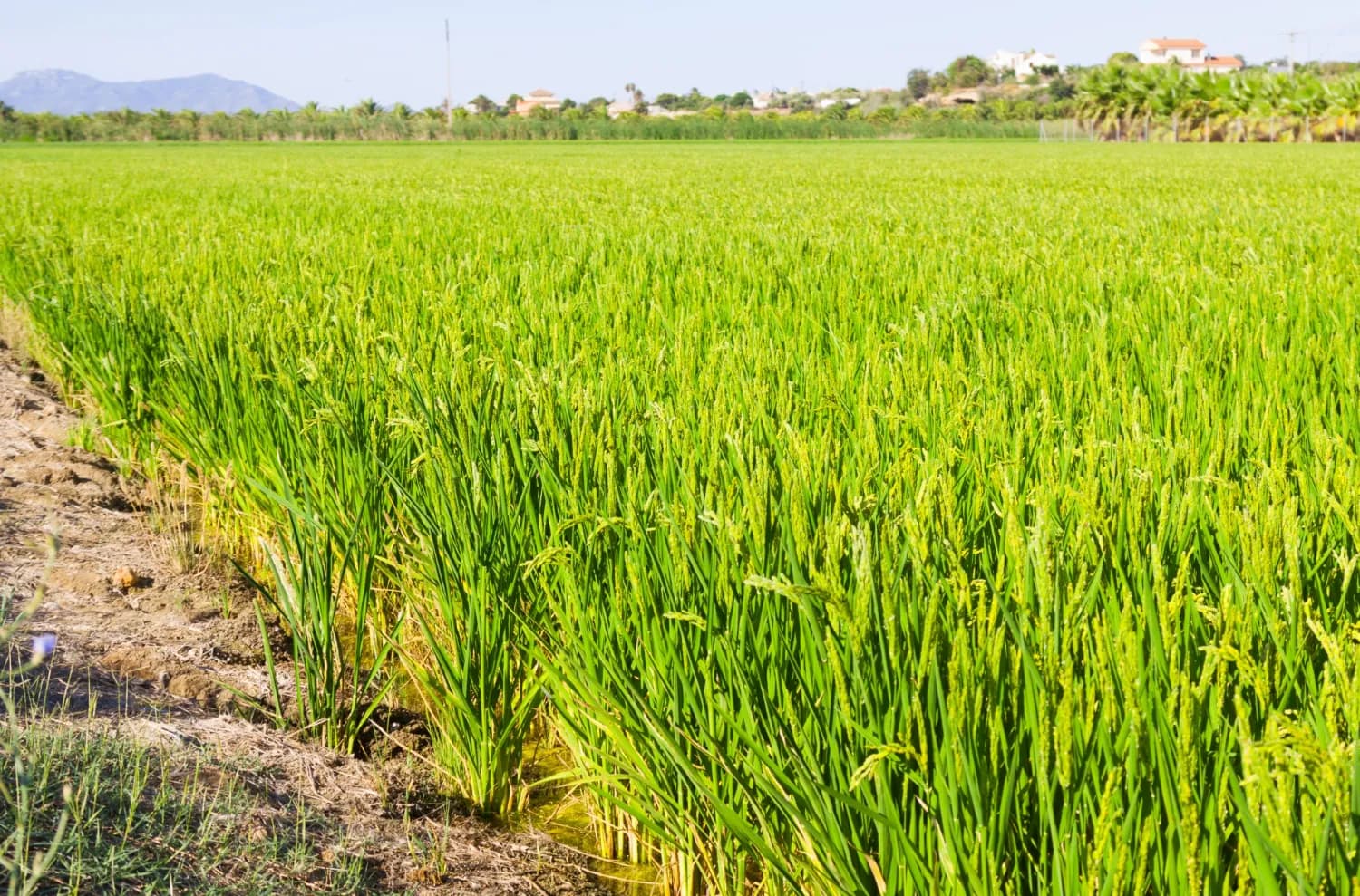
Agriculture & Food Security · Kenya
Mapping the Future of Food: Mwea Irrigation Scheme's Digital Farmer and Farms Registry
In collaboration with the National Irrigation Authority, we have revolutionized the process of mapping farms and farmer registration to determine the accurate and current acreage under ir…
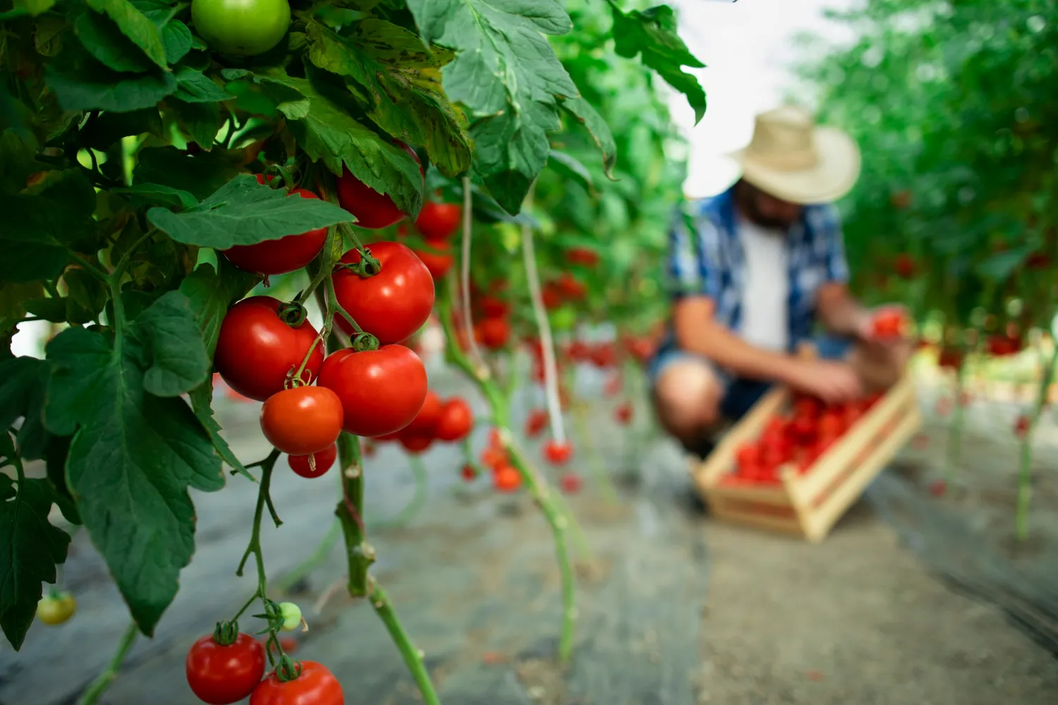
Agriculture & Food Security · Kenya
Data-Driven Farming for Kitui Sorghum Farmers
We empowered the Kitui County government to improve agricultural productivity by using Geo-Information, AI, and Machine Learning to create a smart farm business planning and record-keepin…

Ready to Transform Your Business?
Partner with us for expert guidance and strategies that drive growth and success.
Contact UsGet Your Free Consultation