
Community Resource Mapping
We map water points, grazing land, migration routes and flood-risk areas together with community members and combine this with drone imagery.
What this means for you
- Brings local knowledge into the map
- Produces printed maps communities can use
- Supports climate-resilience and disaster-risk plans
Part of our NGOs, Donors & Community Development offering.
Related solutions: Project Impact Maps, MEAL Dashboards.
See it in action
Conservation & Land Use · Kenya
One Home for Conservation Data: The Laikipia Conservancies Data Hub
A central data hub and set of dashboards that help Laikipia Conservancies Association and its members track results, report to donors and compare impact.
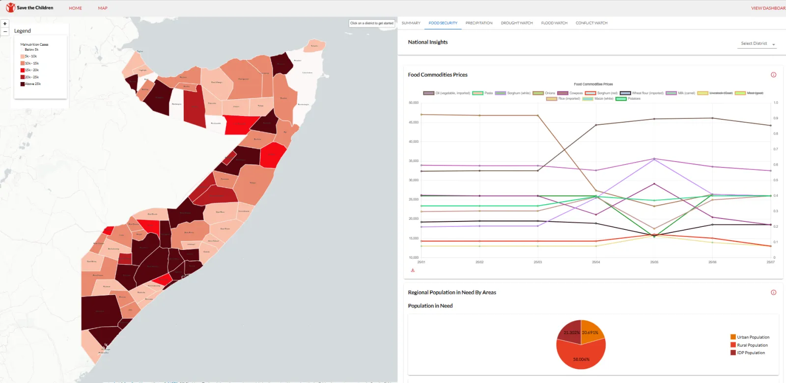
Community Resilience & NGOs · Somalia
Amilen & Zetabyte support SCI-Somalia to deploy Anticipatory Action Forecasting System for resilient Somalia.
Empowering Somalia to combat climate change, the Anticipatory Action Forecasting System (AAFS) leverages cutting-edge AI and satellite data to predict floods and droughts. By strengthenin…
Community Resilience & NGOs · Kenya
Mapping Water, Grazing and Risk Together: Drone Surveys and Maps in Laikipia North
Drone surveys, community mapping and a simple online dashboard to help communities in Mukogodo East and West plan for drought and floods.

Ready to Transform Your Business?
Partner with us for expert guidance and strategies that drive growth and success.
Contact UsGet Your Free Consultation