
Field Data Collection Systems
Mobile data collection set up end to end: forms, field teams, servers and dashboards, so survey results reach decision makers in days, not months.
What this means for you
- Works offline in remote areas
- Fewer errors than paper forms
- Results appear on a dashboard as teams submit
Part of our Government & Public Sector offering.
Related solutions: Geoportals & Data Hubs, Registries & Baseline Surveys.
See it in action
Environment & Climate · Uganda
Satellite Alerts for Uganda: A Live Ecosystem Monitoring System for NEMA
We built the engine behind a proof-of-concept system that lets Uganda's National Environment Management Authority spot forest loss, burning and wetland damage from space.
Data Platforms & Software · Kenya
Modernising National Data: A Geoportal and Field Tools for DRSRS
We are helping Kenya's Directorate of Resource Surveys and Remote Sensing replace scattered files with a modern geoportal, a standard spatial database and mobile data collection.
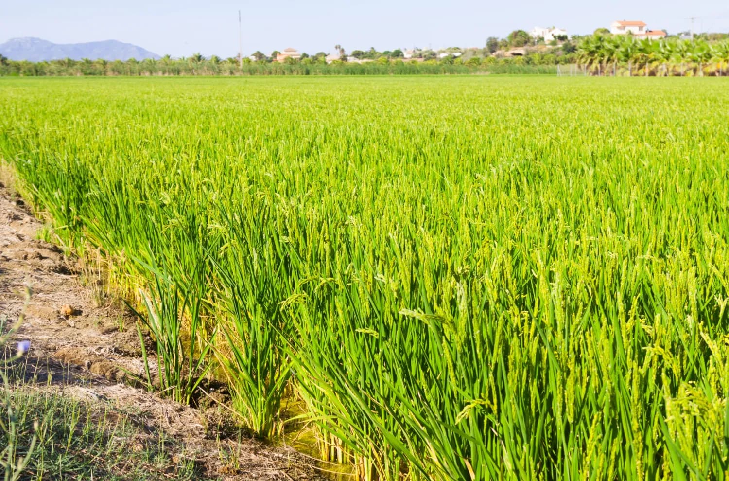
Agriculture & Food Security · Kenya
Mapping the Future of Food: Mwea Irrigation Scheme's Digital Farmer and Farms Registry
In collaboration with the National Irrigation Authority, we have revolutionized the process of mapping farms and farmer registration to determine the accurate and current acreage under ir…

Ready to Transform Your Business?
Partner with us for expert guidance and strategies that drive growth and success.
Contact UsGet Your Free Consultation